


Underground Storage Tanks
MacDill Air Force Base
A Phase II environmental site assessment was conducted at a military base in the southeastern United States. As part of the ESA, GeoView was contracted to perform the geophysical site assessment. The purpose of the geophysical investigation was to determine the presence and location of any underground storage tanks that may be buried within the boundaries of the project site.
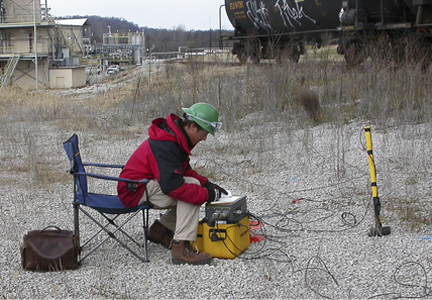
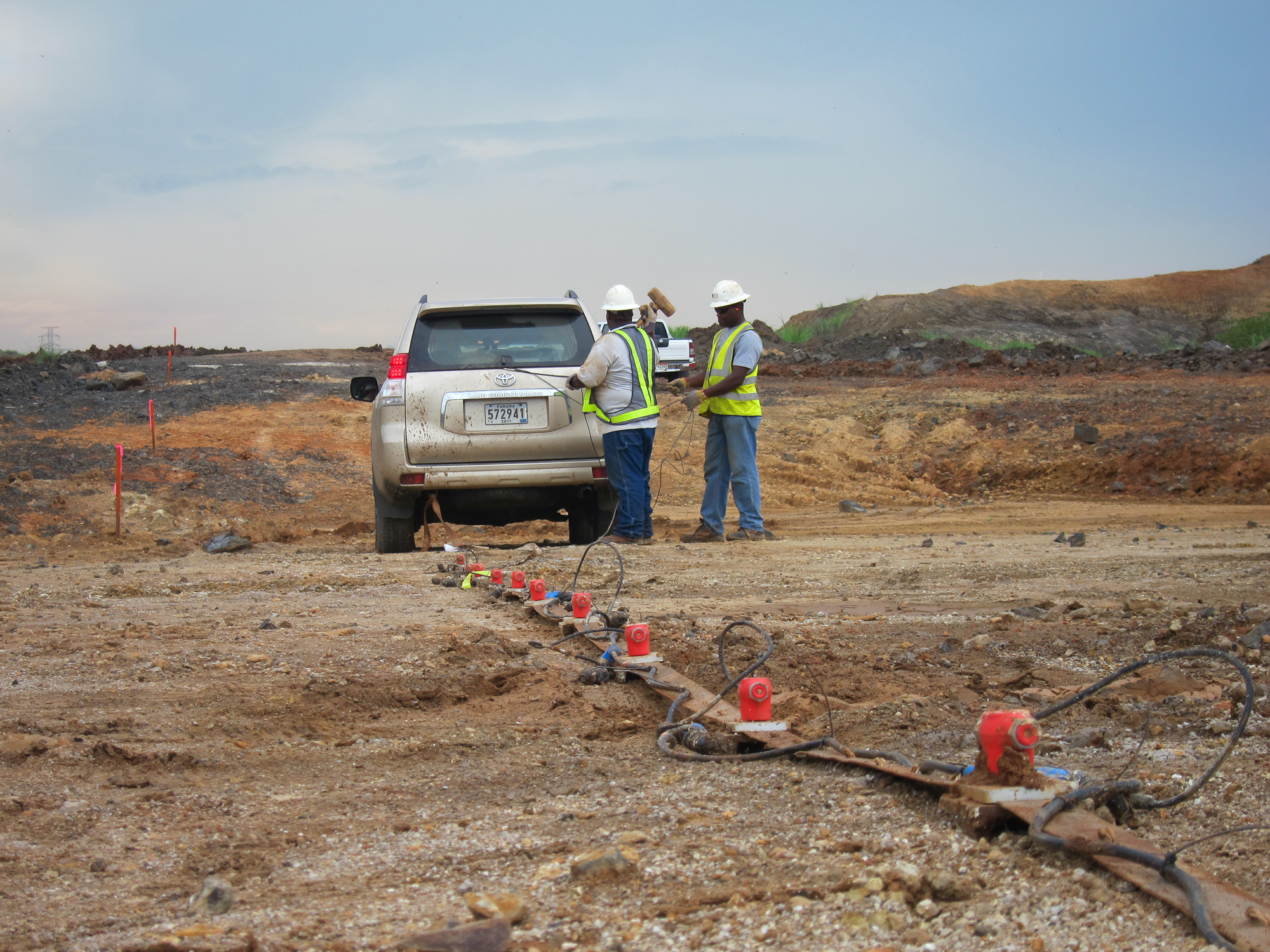
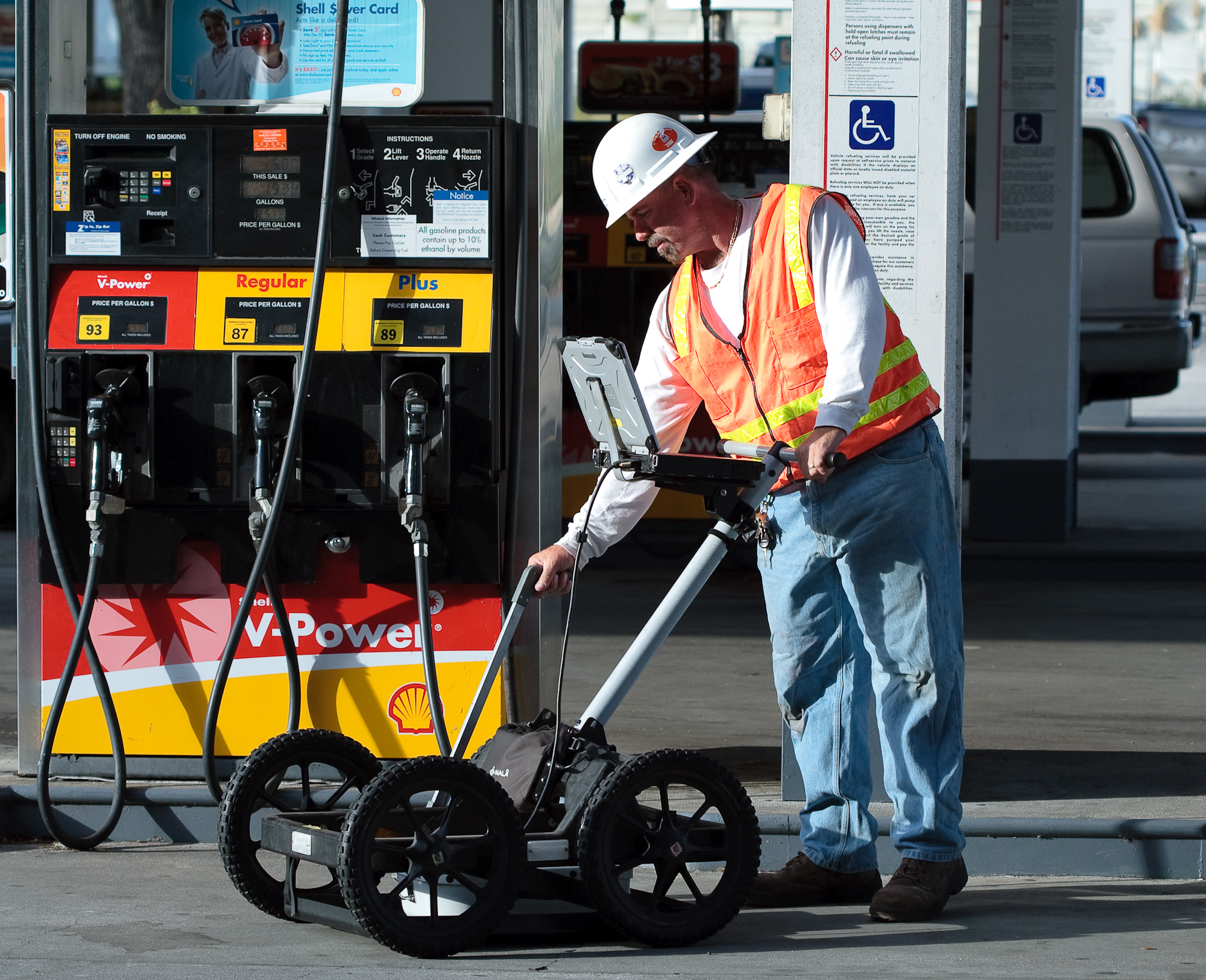
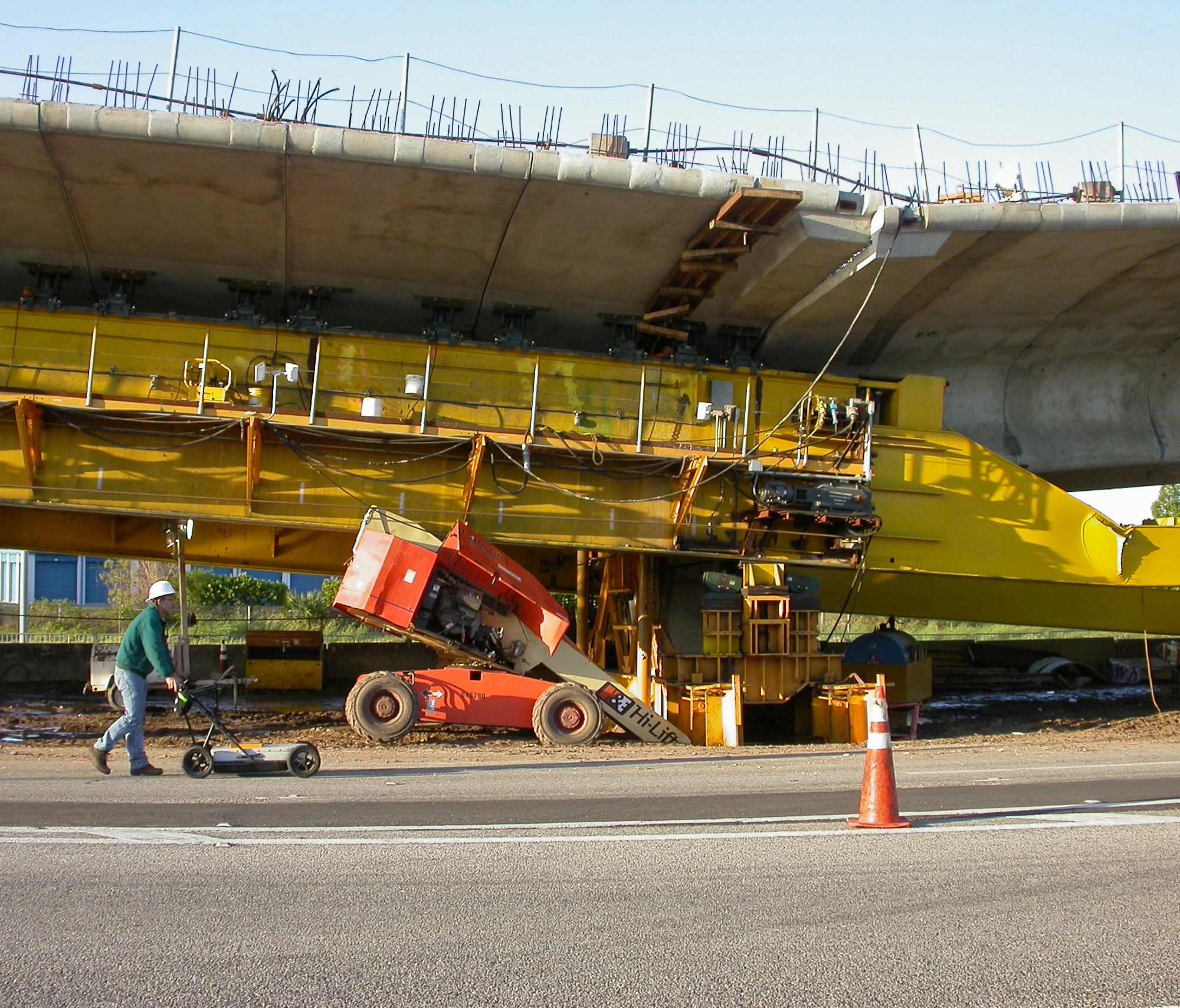
 The geophysical investigation was conducted using a time domain electromagnetics (TDEM), ground penetrating radar (GPR) and an electronic utility locator. The TDEM survey was conducted using a Geonics EM-61 MK2. The EM-61 is capable of detecting ferrous and non-ferrous metal to a maximum depth of approximately 9 ft below land surface. Data was collected and recorded on transect lines spaced 2.5 ft apart. The results were presented as a plan view contour map of the instrument response. The GPR survey was conducted using a Mala GPR system with both 250 and 500 Megahertz antennas. GPR was used to determine the presence of both metallic and non-metallic objects and determine the geometry and burial depth of the objects. The electronic utility locator was used to identify power lines and other utilities that could be energized (conduits, metal pipes, trace wires).
 The geophysical investigation identified three previously unknown underground storage tanks within the survey area. The three tanks were each approximately 30 feet in length and at a depth of 3 feet. The former fuel pump island, associated fuel lines, and other utilities of interest were also identified during the geophysical survey. The locations of the underground storage tanks and utilities were confirmed with a series of test pits. The results were presented in an AutoCAD site map and marked on the ground surface with marking paint and wooden survey stakes.
(Example Figures - click to enlarge)

Contour Map of EM-61 Respose

Site Map Showing Results of the Geophysical Survey